The Pinhoti Trail is a 330-mile long trail that spans across the state of Alabama. It begins in the Appalachian Mountains and ends at Flagg Mountain, which is the highest point in Alabama. The trail passes through various national forests including Talladega National Forest, Cheaha State Park, and Dugger Mountain Wilderness. Along its journey it also passes by numerous lakes, rivers, creeks and streams as well as some historic sites such as Chief Ladiga’s village site near Piedmont and several Civil War battlefields. The Pinhoti Trail offers hikers an opportunity to experience the beauty of Alabama’s natural landscape while enjoying its rich history and culture.

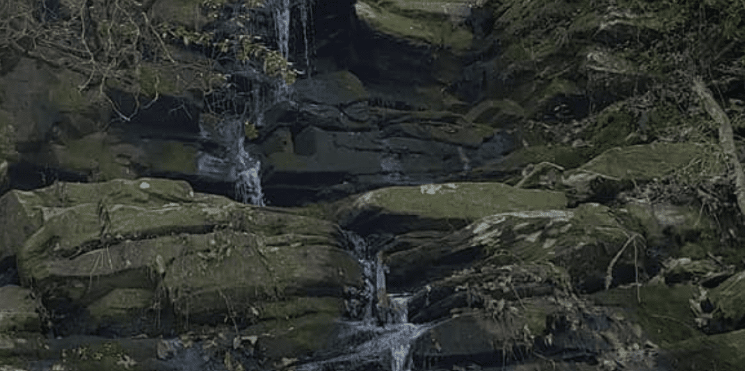
The terrain consists mostly of rolling hills with occasional steep climbs over mountain ridges along its route. Much of the trail follows old logging roads or jeep trails as it winds its way through hardwood forests filled with wildflowers during springtime months; rhododendron thickets; open meadows; creeks; waterfalls; small towns and past numerous overlooks providing breathtaking views across North Georgia’s Blue Ridge Mountains.
Location and Map of Pinhoti Hiking Trail
 Waterfalls in Arkansas